

 Back to
randonnee
Back to
randonnee
From Corbier to La Toussuire
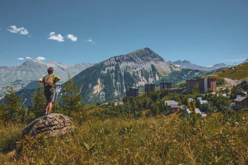
Would you like to visit La Toussuire or Le Corbier? Why not do it on foot?
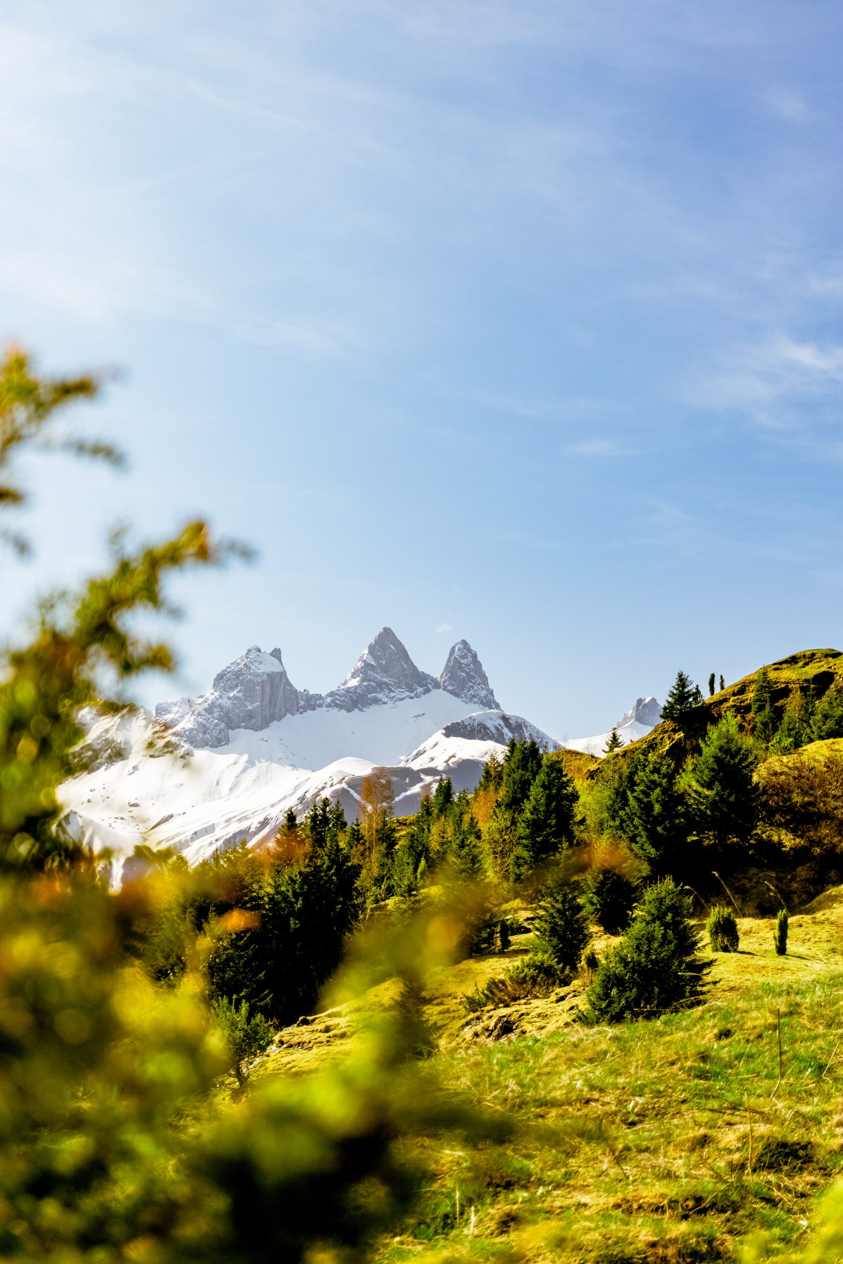
This itinerary means you don't have to take the main road, and you can enjoy the sunshine and uninterrupted views over the valley!
Description
When to go?
If it's very hot, it's best to set off in the morning, as this route faces due south and the trees are few and far between.
Itinerary :
1- This short hike starts from the Corbier Tourist Office.
2- Go down the metal stairs beside the "Le Yéti" restaurant, then cross the road. The track descends alongside the Corbier Écurie Roche Noire riding school. Turn left, following the signs for "La Toussuire" as far as the wooden bridge.
3- At the next crossroads, turn left up to "Plan Chaud". On the Plan Chaud, head for La Toussuire via La Sellière and Intersection Toussuire. From this crossroads, head up the road towards La Toussuire as far as the Tourist Office.
4 - Opposite the Office de Tourisme de La Toussuire, turn right along the building to Côte Ratel, then right to Comborcière.
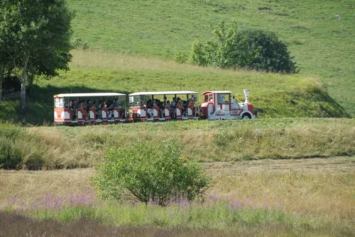
5 - Turn left onto the "Des Envers" path, which joins the main road. Follow the road to the right to return to Le Corbier. You can also take the free Le Corbier / La Toussuire shuttle train to Le Corbier and back. Check the timetable on our website, at the bus stops or in the tourist offices.
This itinerary includes one of Max's "Randos": Max and the paragliding stone! Booklet available from the Tourist Office.
Environments
-
 Waterside
-
Riverside
-
Mountain view
-
Mountain location
Itinerary
-
 Distance
6.4km
Distance
6.4km
-
 Type of itinerary
LOOP
Type of itinerary
LOOP
-
 Elevation gain
266m
Elevation gain
266m
-
 Elevation drop
266m
Elevation drop
266m
-
 Duration
03:00
Duration
03:00
-
 Marked trail
Yes
Marked trail
Yes
-
 Marking details
Follow the yellow signs.
Marking details
Follow the yellow signs.
-
 Nature of the land
Stone,
Ground,
Not suitable for strollers
Nature of the land
Stone,
Ground,
Not suitable for strollers
-
 Highest altitude
1750m
Highest altitude
1750m
Opening time
From 01/05 to 30/11 daily.
Subject to favorable snow and weather conditions.
Adaptive tourism
-
Not accessible in a wheelchair
Documents

Pets
Pets allowed : Yes


-
Distance
6.4km
-
Duration
03:00
-
Elevation gain
266m
-
Elevation drop
266m