
 Back to
randonnee
Back to
randonnee
La boucle du Garde Chasse
NOTES :
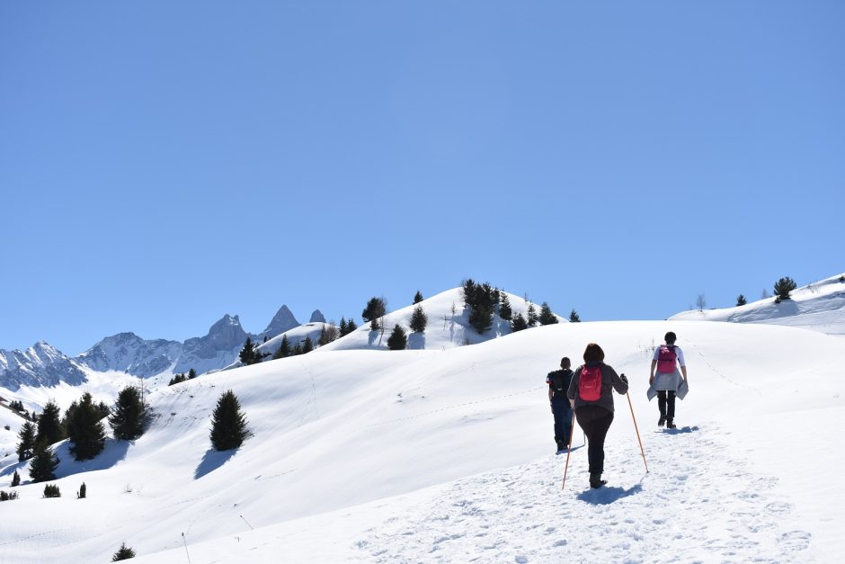
Snowshoes and poles compulsory for this hike.
Description
WORTH KNOWING:
A century ago, the Col d'Arves was the main access route for the inhabitants of the Arvan valley. In the hamlet of Cruet, known as "petit village" in Savoyard dialect, you'll find the Baroque chapel of Sainte Philomène.
SIGHTSEEING
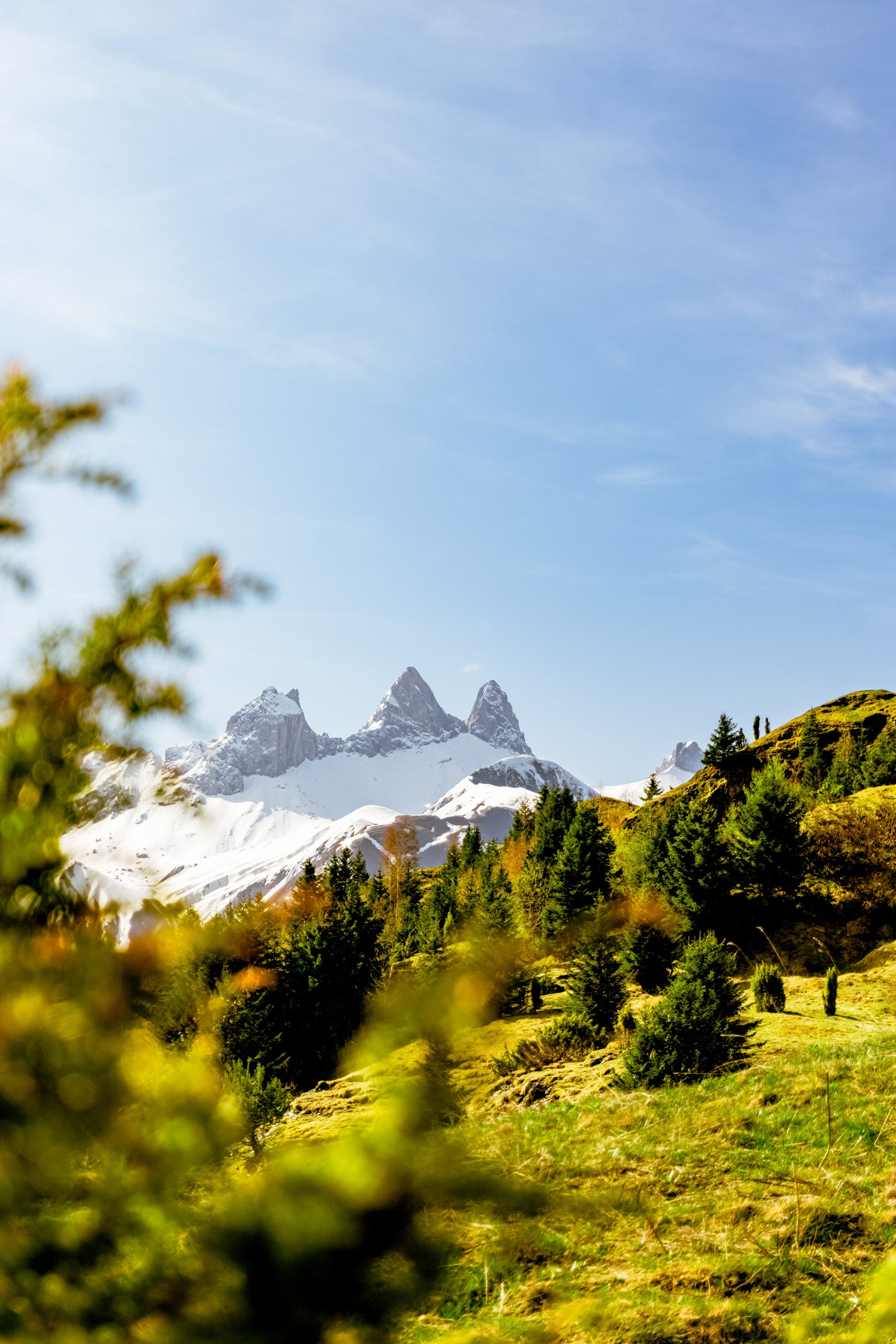
A magnificent view of the Aiguilles d'Arves from the top of the Col.
Environments
-
 Forest location
-
Mountain view
-
Mountain location
-
Resort centre
-
Village centre
Itinerary
-
 Distance
14.3km
Distance
14.3km
-
 Type of itinerary
LOOP
Type of itinerary
LOOP
-
 Elevation gain
971m
Elevation gain
971m
-
 Elevation drop
970m
Elevation drop
970m
-
 Duration
06h30
Duration
06h30
-
 Marked trail
Yes
Marked trail
Yes
-
 Nature of the land
Non-groomed itinerary,
Not suitable for strollers
Nature of the land
Non-groomed itinerary,
Not suitable for strollers
-
 Average altitude
1550m
Average altitude
1550m
-
 Highest altitude
1749m
Highest altitude
1749m
Opening time
Closed temporarily.
Location
Themes
-
Guidebook with maps/step-by-step : ROUTE DETAILS :
For the first part of this walk, follow the Col d'Arves itinerary. When you come back down after the Baye, you'll come to a crossroads. Follow the signs to the "Aire de pique-nique de l'Oeillette". Once you are at l'Oeillette, continue for a few metres and on your right you will see a small path through the woods. There are small wooden signs every 100 metres or so as you descend through the forest. When you reach the crossroads, take the path on the right, signposted "boucle du Garde Chasse". After a long uphill section, you will pass the water treatment plant and then reach the Lac de la Tigny. At this point, you rejoin the road. Continue past the campsite, cross the bridge and after about 100 metres take the path on the right. You will pass the bread oven and then the Villarembert church. Cross the road at the Town Hall and continue along the road for a few metres.
At a bend on your left, climb the path (it's quite steep at this point!). At the end of the path, you'll find the road again. Turn right towards "Les Crevasses". Then join a path (again quite steep), before arriving at the "Plan Chaud" with the groomed path. Take the long descent then continue straight on, passing over the wooden Garney bridge and the equestrian centre. You are now back at Le Corbier.


-
Distance
14.3km
-
Duration
06h30
-
Elevation gain
971m
-
Elevation drop
970m