


 Back to
randonnee
Back to
randonnee
The Plan Chaud loop from Le Corbier, in winter
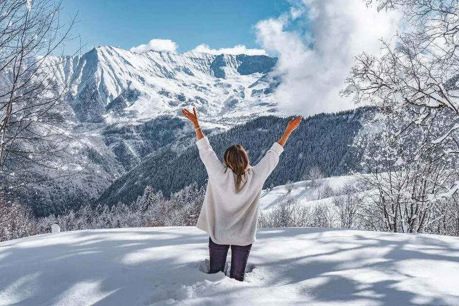
Gentle, accessible walk leading to a sunny plateau with benches and picnic tables. Ideal for sunbathing overlooking the mountains.
Description
From the Tourist Office, cross the snow front to the covered stairs. Go down the stairs, cross the road and join the downhill track. At the next intersection, take the path on the left, which rises slightly. Continue as far as the wooden footbridge that crosses the Garney stream. At the next crossroads, turn left onto the Plan Chaud plateau. Turn left up to the road. Follow the road for a few metres before taking the left-hand path. Cross the road a second time and continue to the Praz Rivier intersection. Cross the plateau in the opposite direction, then take the track down to the corner of the plateau, then turn left to go down to the Garney bridge. Cross the bridge and head up towards Le Corbier.
Itinerary
-
 Distance
5.2km
Distance
5.2km
-
 Type of itinerary
LOOP
Type of itinerary
LOOP
-
 Elevation gain
177m
Elevation gain
177m
-
 Elevation drop
177m
Elevation drop
177m
-
 Duration
02:30
Duration
02:30
-
 Marked trail
Yes
Marked trail
Yes
-
 Marking details
Yellow signs and yellow and black pickets
Marking details
Yellow signs and yellow and black pickets
-
 Nature of the land
Groomed trail,
Not suitable for strollers
Nature of the land
Groomed trail,
Not suitable for strollers
-
 Highest altitude
1650m
Highest altitude
1650m
Opening time
Subject to favorable snow and weather conditions.
Pets
Pets allowed : Yes


-
Distance
5.2km
-
Duration
02:30
-
Elevation gain
177m
-
Elevation drop
177m